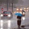


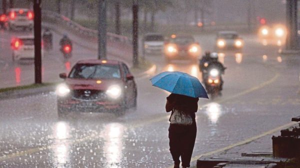


People living in the northern part of Peninsular Malaysia may want to take extra care this week. MetMalaysia has announced that a tropical storm is hovering close to the region, bringing the possibility of continuous heavy rain, strong winds, and rough sea conditions.
As of 11 am today, the storm was located at:
• 4.5°N, 97.9°E
• About 309 km from Banda Aceh, Indonesia
• And 284 km from George Town, Penang
The system is moving west-southwest at about 9 km/h, but despite moving slowly, it carries maximum wind speeds of up to 83 km/h, strong enough to cause dangerous waves and unstable weather along the northern coastline.
Areas Likely to Be Affected
Residents in these states should be prepared for wetter and windier days:
- Penang
- Kedah
- Perlis
- Northern Perak
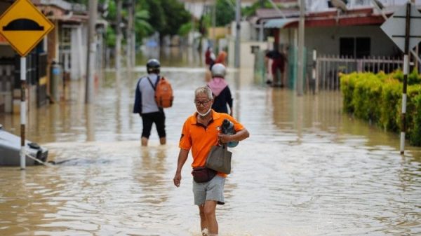
With the Northeast Monsoon active, the risk of flash floods, slippery roads, and stormy seas is higher than usual.
How to Stay Prepared
Here are a few simple reminders to stay safe:
- Keep track of weather alerts from MetMalaysia.
- Limit trips to beaches or open waters — sea conditions may become dangerous.
- Secure outdoor items and vehicles, especially if you live in high-wind areas.
- Stay alert for flood warnings if you’re in low-lying or flood-prone places.
While the situation may sound worrying, staying informed can make a big difference. Make sure to follow MetMalaysia’s official updates as they continue to monitor the storm.
Take care, stay warm, and stay safe!